Tools
Geographic Measurement Tool
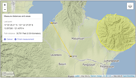
Calculate surface area and point-to-point distances, or identify precise geographic coordinates with a mouse click. This tool uses the Ellipsoid/Great Circle model for distance estimation.
Batch Coordinates Converter
Easily batch-translate geographic data between Decimal Degrees (DD) and Degrees, Minutes, Seconds (DMS) formats.
Population Projection Calculator
Calculate population projections via exponential, linear, or logistic growth models. Outputs chart visuals and downloadable tabular data.